Indooroopilly

Buyers agent
in Indooroopilly

The western suburbs' town centre: a train station, a bus interchange and the biggest shopping centre in the west, on a bend of the river.

5.0 ★★★★★

from 219 Google reviews

$1.85m

median house price, November 2026

$875 a week

median house rent

54%

owner-occupied

Our area guide to Indooroopilly for families buying a home: the pockets, the schools and their catchments, daily life, getting around, the houses and what to check before you buy.

Our purchases

A home Hunter Gather bought for a client in Indooroopilly

An example of what we have bought for clients here

Indooroopilly, 2020

$1,415,000

5 bed, 3 bath, 2 car

Jillian Breen

See all our purchases

Indooroopilly on the map

Indooroopilly is the western suburbs' town centre: about six and a half kilometres south-west of the CBD in a straight line, on a bend of the Brisbane River opposite Chelmer, with the biggest shopping centre in the west, a train station on the Ipswich and Springfield lines and a major bus interchange all within a few hundred metres of each other on Station Road. Away from that core it is a suburb of hills and old streets: character houses on the river streets either side of the bridges, quiet timber houses on the ridges north of Moggill Road, the school precinct along Ward Street and Harts Road on the Taringa and St Lucia side, and the creek streets and later houses in the west toward Chapel Hill and Fig Tree Pocket.

The numbered markers are the pockets.

Size

6.5 km from the CBD, 7.8 km² in area

Boundaries

The Brisbane River runs along the whole southern and south-eastern edge, with the boundary in the middle of the river, so Chelmer, Graceville, Tennyson and Yeronga are neighbours on the map but only Chelmer is joined by a bridge. On land, Taringa adjoins to the north-east, St Lucia to the east, Mount Coot-tha forest and Chapel Hill to the north-west and Fig Tree Pocket to the south-west. Kenmore meets it at a single corner and Brookfield and Jindalee do not touch it. Long Pocket, the riverside land with the golf course and the university's Long Pocket precinct, is part of Indooroopilly rather than a suburb of its own. Just under eight square kilometres.

Main roads

Moggill Road (State Route 33, the main road through the suburb to Taringa, Toowong and the city one way and Kenmore the other). The Western Freeway (the M5, to Toowong, Legacy Way and the Inner City Bypass, with its one interchange at Indooroopilly onto Moggill Road). The Centenary Motorway (the M5 south from the Western Freeway, over the Centenary Bridge to Jindalee and the Ipswich Motorway). Coonan Street and the Walter Taylor Bridge (the suburb's road bridge over the river, to Chelmer and the Oxley Road corridor). Harts Road and Indooroopilly Road (the eastern run past St Peters to Taringa and the university).

Neighbours

Taringa, St Lucia, Chapel Hill, Fig Tree Pocket, Mount Coot-tha, Chelmer (across the river), Yeronga (across the river), Graceville (across the river), Tennyson (across the river)

The pockets

1The station and the shopping centreSuits Downsizers, first buyers and parents buying an apartment near a teenager's school or the university, who want the train, the buses and the shops on foot.
The station and the shopping centre, Indooroopilly

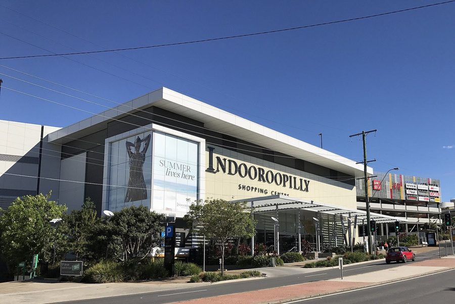
The working centre of the western suburbs. Indooroopilly Shopping Centre, the bus interchange beside it, the station and the Station Road cafes sit within a five-minute walk, and the apartment buildings and walk-ups around them hold most of the suburb's units. This is the part of Indooroopilly that Council has proposed to take higher: the 2026 amendment for the Indooroopilly centre neighbourhood plan would lift the maximum height around the centre from 20 storeys to 25. Buy here for the convenience, and read the body corporate records as closely as the floor plan.

Streets Station Road, Coonan Street, Belgrave Road, Musgrave Road and Westminster Road, with Finney Road, Riverview Terrace and the top of Clarence Road and Central Avenue

2The river streetsSuits Families buying the long-term house: a character home on a decent block in the Indooroopilly State School catchment, with the station a walk away.
The river streets, Indooroopilly

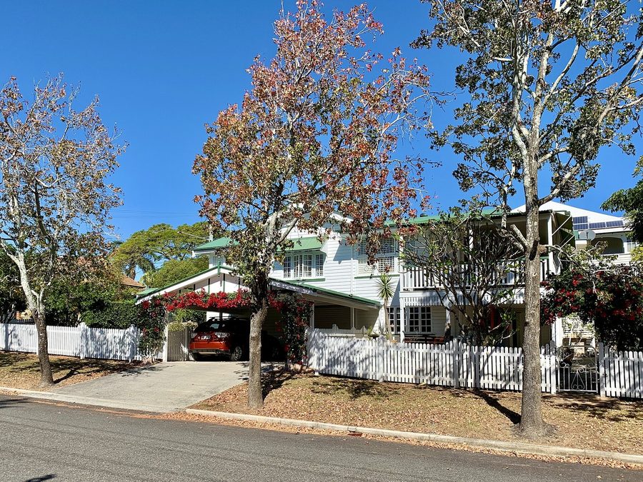
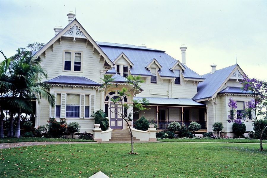
East of the bridges, the streets between Clarence Road, Lambert Road and the river were first sold in 1878 as the Henderson Estate, mostly in 32 perch lots of about 810 square metres. Many have since been split, but the old houses remain on Neulans Road and Hunter Street, both wholly under Council's traditional building character overlay, and the heritage-listed Tighnabruaich sits on Clarence Road. West of the bridges, Goldieslie Road is one of the most intact character streets in the suburb, with about four in five of its street numbers under the same overlay. Most of this land sits well above the river, but not every riverfront lot does, so the flood report comes before the open home.

Streets Neulans Road, Hunter Street and the river ends of Clarence Road and Lambert Road, with Goldieslie Road west of the bridges

3North of Moggill RoadSuits Families who want a timber house on a quiet hill street, the state school a short drive or a walk away, and the freeway on the doorstep.

Payne Street, Disraeli Street, Gladstone Street, Manchester Terrace, York Street and Taringa Parade, up toward Taringa and the Mount Coot-tha foothills

The hill streets on the city side of Moggill Road, running up toward Taringa and the forest. Queenslanders and post-war houses, much of it under the character overlays, with the Western Freeway close for the run to the city. Every street here sits in the Indooroopilly State School and Indooroopilly State High catchments, and none of its address points were inside the 2011 or 2022 flood lines. The blocks are the smallest in the suburb, often the old 16 perch lot, so check the yard, the driveway and the under-house before you fall for the deck.

4Harts Road and Long PocketSuits Families buying around the schools: St Peters, Brigidine, Holy Family and the state high are all on Harts Road or Ward Street, and the university is one suburb east.

Harts Road, Carrington Road, Meiers Road, Indooroopilly Road and Nindethana Street, with Ward Street and Fairley Street on the Taringa side

The eastern side of Indooroopilly, toward Taringa and St Lucia. Ross Roy and the St Peters chapel on Harts Road, the bougainvillea gardens at Thomas Park, then the Indooroopilly Golf Club and the university's Long Pocket land on Meiers Road where the suburb opens out to the river. This is also where the primary catchment changes: Carrington Road, Meiers Road and Indooroopilly Road are Ironside State School, most of Harts Road is too, and Ward Street, Fairley Street and Lambert Road split between Ironside and Indooroopilly State School, so check the exact house.

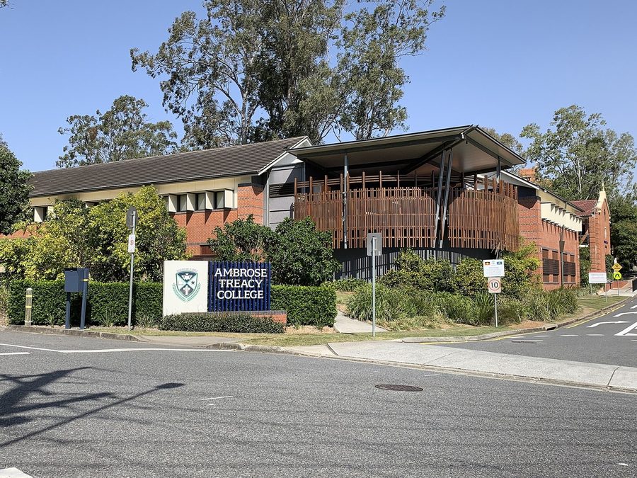
5Witton Creek and the Fig Tree Pocket sideSuits Families who want more house and yard for the money, a boys' school at the end of the street at Ambrose Treacy, and the Centenary Motorway close.

Witton Road, Kate Street, Twigg Street, Russell Terrace and Jerrang Street, with Almeida Street, Jesmond Road and Dobell Street toward Fig Tree Pocket

The western end, where Witton Creek runs down to the river past Ambrose Treacy College on Twigg Street and the suburb gives way to Chapel Hill and Fig Tree Pocket. Later houses, mostly on 500 to 850 square metre blocks, quieter streets and the Moggill Road buses at the top. Two things to check here. The low streets along the creek are the ones most of the suburb's flood record sits on. And almost all of Jerrang Street, with Almeida Street, Jesmond Road and Dobell Street, is in the Fig Tree Pocket State School catchment, not Indooroopilly State School.

Schools and catchments

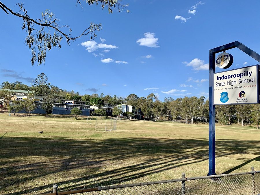
Indooroopilly has an unusual amount of school choice inside its own boundary. The state system is simple for most houses: Indooroopilly State School on Moggill Road takes about four in five homes in the suburb, and Indooroopilly State High School on Ward Street takes every home for high school. The edges are where it gets particular. The eastern streets toward Taringa and St Lucia fall to Ironside State School, with Harts Road, Lambert Road, Ward Street, Fairley Street and Dennis Street split between Ironside and Indooroopilly, and the south-western streets around Jerrang Street and Almeida Street go to Fig Tree Pocket State School. All four state schools run enrolment management plans. On top of that sit St Peters Lutheran College on Harts Road, Brigidine College and Holy Family on Ward Street and Ambrose Treacy College on Twigg Street, with Brisbane Boys' College and Stuartholme up the road in Toowong. Check the exact lot on EdMap before you count on a school.

Primary catchment, most of the suburb
IndooroopillyState school, enrolment capped at 1,448
Secondary catchment
Indooroopilly SHSEnrolment capped at 2,897
Catchments touching the suburb
3 primary, 1 secondaryDrawn street by street. Check the lot on EdMap.
Ironside State School

Prep to 6, Cap 1,159. East, about 14% of homes

Ironside State School

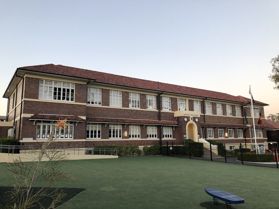
Prep to Year 6 on Hawken Drive in St Lucia, open since 1870, when it began as Toowong Mixed State School; it was Indooroopilly State School from 1879 and has been Ironside since 1905. Its catchment takes the eastern side of Indooroopilly toward Taringa and St Lucia: Carrington Road, Meiers Road, Indooroopilly Road and most of Harts Road, plus the golf course and the Long Pocket land. That is nearly half the suburb by area but about one home in seven. Enrolment management plan gazetted 22 August 2025 with a cap of 1,159 students and Prep limited to 135 in six classrooms.

2 Hawken Drive, St Lucia QLD 4067
Indooroopilly State SchoolPrep to 6, Cap 1,448. Centre and north, about 80% of homesPrep to Year 6 at the corner of Moggill Road and Russell Terrace, open since 1889 and the primary school for about four in five Indooroopilly homes, the centre and north of the suburb. It runs an enrolment management plan, gazetted 22 August 2025: a cap of 1,448 students and Prep limited to 200 places in eight classrooms unless more in-catchment children enrol, and the principal must restrict out-of-catchment enrolments. Drop-off zones run on Taringa Parade and Russell Terrace at the bell times.

Cnr Moggill Road and Russell Terrace, Indooroopilly QLD 4068

Fig Tree Pocket State SchoolPrep to 6, Cap 522. South-west, about 6% of homesPrep to Year 6 on Cubberla Street, open since 1871 and the smallest of the three. Its catchment takes the south-western streets of Indooroopilly around Jerrang Street, Almeida Street, Jesmond Road and Dobell Street, about one home in sixteen. Enrolment management plan gazetted 20 September 2024: a cap of 522 students with Prep limited to 68 in three classrooms.

72 Cubberla Street, Fig Tree Pocket QLD 4069

Three primary catchments and one secondary catchment touch Indooroopilly. Checked against the 2026 Queensland catchment polygons and address points on 19 Nov 2026: Indooroopilly State School holds about 80 percent of the suburb's homes, Ironside about 14 percent and Fig Tree Pocket about 6 percent, and Indooroopilly State High all of them. Two houses a street apart can sit in different primary schools on Harts Road, Lambert Road, Ward Street, Fairley Street and Dennis Street. We pull the EdMap for the exact lot before every inspection and ring the school before you make an offer.

Daily life in Indooroopilly

The places the week runs on: coffee and the school run, the evening out, the big shop and the pool.

5 min walk

Corner Cafe 26

A roomy corner cafe on Station Road, a short walk from the station, with Bellissimo coffee, generous breakfasts and a menu that suits the kids. The easy weekday stop on the way to the train.

26 Station Road, Indooroopilly QLD 4068

Lambert Cafe5 min walkA small neighbourhood cafe on Lambert Road with dog-friendly tables outside. Coffee before the walk down to the river at Witton Barracks.

10 Lambert Road, Indooroopilly QLD 4068

Hetty and Herm's5 min walkA coffee shop inside the restored Witton Barracks, 6am to midday on weekdays and 7am to midday on weekends. Coffee and a treat while the kids run the playground next door.

9 Lambert Road, Indooroopilly QLD 4068

Archer LarderA fully licensed cafe on Clarence Road with breakfast Tuesday to Saturday, lunch Tuesday to Friday and dinner on Friday nights, named a 2026 finalist for Best Breakfast Cafe in the Restaurant & Catering awards for Queensland and the NT. Free parking under the building off Allwood Street.

101 Clarence Road, Indooroopilly QLD 4068

Foundry Artisan Coffee5 min walkSpecialty coffee on Level 3 of the shopping centre, near the cinema entrance, from a dedicated gluten-free kitchen: eggs benny, bagels and toasties without anyone having to ask what is safe. Weekdays from 7.30am, weekends from 8am or 9am.

Level 3, 322 Moggill Road, Indooroopilly QLD 4068

Stamford Road Bakery5 min walkA family-run bakery on the corner of Moggill and Stamford Roads since 2008, open from 5.30am on weekdays: sourdough, pastries, sandwiches and pies. The bread run before school.

Shop 4/18 Stamford Road, Indooroopilly QLD 4068

Abode Cafe5 min driveBreakfast and coffee in the 1930s Hillsdon Road Centre in Taringa, seven days from 7am, with a courtyard for slow weekend mornings.

Shop 2, 30 Hillsdon Road, Taringa QLD 4068

Getting around

Central by train
About 14 minFrom Indooroopilly station, all stops on the Ipswich and Springfield lines
City by bus
About 20 minThe 444 express from the interchange to King George Square, off-peak
To the CBD
6.5 kmStraight line from the suburb centre
Indooroopilly station

Train

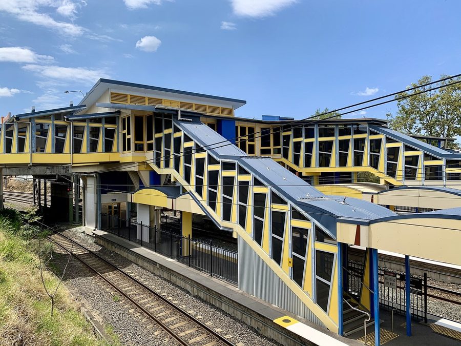
Indooroopilly station sits between the shopping centre and the river on the Ipswich/Rosewood and Springfield lines, a ground-level station with two island platforms, rebuilt in 1960 and upgraded between 2007 and 2009. Each line runs half-hourly in the middle of the day, so a train every fifteen minutes or so, and the all-stops run to Central takes about fourteen minutes through Taringa, Toowong, Auchenflower, Milton and Roma Street. Chelmer is the next stop out, over the river.

Bus

The bus interchange is part of the shopping centre, and most of the western suburbs' buses run through it. The 444 Moggill to City express comes every fifteen minutes in the middle of the day and reaches King George Square in about twenty minutes via Moggill Road and Coronation Drive, past the Wesley Hospital; the 425, 430, 435 and 460 run express to the city from Chapel Hill, Fig Tree Pocket, Brookfield and Heathwood. The 427, 428 and 432 run to the University of Queensland, about eighteen minutes on the 427 via Central Avenue, York Street and Ironside State School, and the 105 crosses the Walter Taylor Bridge to Chelmer, Graceville and the PA Hospital.

Road

To the CBD by car via the Western Freeway and Legacy Way, or along Coronation Drive. The Centenary Motorway takes you south over the Centenary Bridge toward the Ipswich Motorway, and the Walter Taylor Bridge to Chelmer and the Oxley Road corridor. The airport is via Legacy Way, the Inner City Bypass and Airport Link, tolled.

Bus routes

Routes 444, 425, 430, 435, 460, 427, 428, 432 and 105.

Route numbers named in the bus notes above, all through the Indooroopilly Shopping Centre interchange. Timetables on Translink.

Pinch points

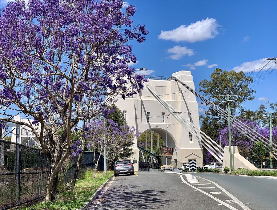
Moggill Road backs up through the centre from 7.30am, at the Western Freeway interchange and where Coonan Street crosses over it to the Walter Taylor Bridge, and the bridge itself queues at both ends in the peak. Council's renewal of the bridge brought weekend and overnight closures through 2026, and the tower façade works are scheduled from early 2027 to mid 2028, so check before you plan a morning around it; the Jack Pesch Bridge beside it stays open for walkers and riders. Ward Street carries three schools between 8am and 8.45am, Indooroopilly State High, Brigidine and Holy Family, and Harts Road has St Peters. The shopping centre car parks fill on Saturdays; the first three hours are free.

Weekends

Sir John Chandler Park, Indooroopilly

Sir John Chandler Park

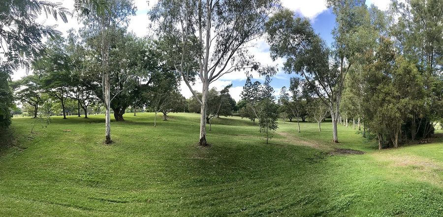
The riverside park at the end of Meiers Road in Long Pocket, beside the golf club: a fully fenced pirate-ship playground with the river right behind it, wood barbecues, picnic shelters and an off-leash dog area that runs almost the length of the park.

Indooroopilly Riverwalk and Jack Pesch Bridge, Indooroopilly

Indooroopilly Riverwalk and Jack Pesch Bridge

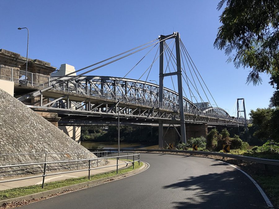
A 790-metre walking and cycling path along the river, finished in 2021, with viewing platforms over the water and the Walter Taylor Bridge. It joins the Witton Barracks path to the Jack Pesch Bridge, the 1998 walking and cycling bridge across to Chelmer.

Witton Barracks Park5 min walkA Second World War site on Lambert Road, reopened as a community hub after 13 years, with a military-themed playground: a toy jeep, climbing walls, slides, swings and Morse code puzzles. A five-minute walk from Indooroopilly station, with the riverwalk below it.

9 Lambert Road, Indooroopilly QLD 4068

Witton Barracks Sunrise Markets5 min walkOn the first and third Sunday of each month, 8am to 1pm: fruit and vegetables, honey, olives and pastries alongside vintage clothes, pottery and woodwork. Dogs welcome, and the train and the riverwalk both lead straight to it.

9 Lambert Road, Indooroopilly QLD 4068

Jack Speare Park10 min walkThe old Indooroopilly Recreation Reserve on Fairley Street, home of Taringa Rovers since 1955. Juniors run from under 5 to under 18, with a girls program from under 6, and the clubhouse is here.

108 Fairley Street, Indooroopilly QLD 4068

Moore Park5 min driveA local park with George Watt Oval, a playground, a half basketball court, electric barbecues, a picnic shelter and toilets, on the shared path.

27 Russell Terrace, Indooroopilly QLD 4068

Brisbane Botanic Gardens Mt Coot-tha10 min driveFree entry and free parking, open from 8am every day, with the Tropical Display Dome, the Hide 'n' Seek Children's Trail and the Sir Thomas Brisbane Planetarium in the grounds. The Citriodora Trail gate links it to the Mt Coot-tha forest walks.

152 Mount Coot-tha Road, Mount Coot-tha QLD 4066

JC Slaughter Falls15 min driveThe start point for Mt Coot-tha Reserve walks: a paved stroll of about 500 metres to the falls that most four year olds can manage, picnic tables and barbecues, and the 5 kilometre loop to the lookout for older kids.

Sir Samuel Griffith Drive, Mount Coot-tha QLD 4066

The houses

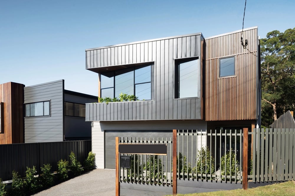
A renovated or lifted house

What is here

Late Victorian and Federation houses and big Queenslanders on the river streets and around Clarence Road, timber Queenslanders and interwar houses on the ridges north of Moggill Road and the Taringa side, post-war brick and timber and later houses in the west toward Chapel Hill and Fig Tree Pocket, and new rebuilds on the bigger blocks across the suburb. It is close to an even split: the 2021 Census counted about 3,200 houses and about 3,000 units, and the units sit mostly in the apartment buildings and walk-ups around the station and the shopping centre, along Clarence Road, Station Road, Finney Road and Central Avenue.

Block sizes

They vary by pocket. Across the suburb's freehold house lots the median is about 600 square metres, with the middle half between about 425 and 800 (Queensland cadastre, read 19 Nov 2026). The hill streets north of Moggill Road run smaller, most often the old 16 perch lot of about 405 square metres; the river streets and the western streets mostly sit between 500 and 850; and the eastern streets around Harts Road and Meiers Road are the largest, typically 600 to 1,050. Check the slope as well as the area: a big block on paper can be a small flat yard in practice.

Character overlays

Council's traditional building character overlay covers the older streets, thickest on the river streets around Goldieslie Road, Neulans Road and Hunter Street and on the hill streets around Gladstone Street, Manchester Terrace and Greenlaw Street, and the dwelling house character overlay covers most of the low-density streets beyond them. Both shape what an extension or a new house can look like from the street, and the oldest houses can carry heritage or pre-1911 protection: Tighnabruaich on Clarence Road, Greylands on Dennis Street, Ross Roy on Harts Road and the Keating residence on Westminster Road are on the heritage register. The centre itself sits under the Indooroopilly centre neighbourhood plan, which Council proposed in 2026 to lift from 20 to 25 storeys around the shopping centre, and the rest of the suburb under the Toowong and Indooroopilly district neighbourhood plan. Check the lot on City Plan before you plan a renovation, an extension or a rebuild.

What the money buys

Under $1m
A two-bedroom apartment near the station or the shopping centre, or an older two-bedroom unit in a walk-up off Clarence Road. Two-bedroom units sold at a median of about $895,000 in the year to October 2026.
$1.2m to $1.7m
A three-bedroom house, usually original or tidy rather than renovated, often on the hill streets north of Moggill Road or toward Fig Tree Pocket. Three-bedroom houses sold at a median of about $1,375,000 over the same year.
$1.8m to $2.8m
A renovated four or five bedroom family home on a 600 square metre block or better in the Indooroopilly State School catchment. Four-bedroom houses sold at a median of about $1,876,000 and five-bedroom houses about $2,525,000 in the year to October 2026.
$3m and above
The river streets: a big character house on a deep block, a riverfront lot, or a new rebuild near Clarence Road. Five-bedroom sales reached $6 million in the year to October 2026.

How it was built

  1. 1875

    The railway arrives at Witton station, renamed Indooroopilly in 1879, and the Albert Bridge carries the Ipswich line over the river the next year.

  2. 1878

    The Henderson Estate offers the river streets between Lambert Road and the river in lots of about 810 square metres.

  3. 1889 and the 1890s

    Indooroopilly State School opens and the big houses go up, among them Ross Roy in 1897.

  4. 1936

    The Indooroopilly Toll Bridge, now the Walter Taylor Bridge, opens to Chelmer and the suburb grows around it.

  5. Post-war

    Brick and timber houses fill the western streets toward Chapel Hill and Fig Tree Pocket, and Indooroopilly State High opens in 1954.

  6. 1970

    Indooroopilly Shoppingtown opens on land cleared of Queenslanders, and apartments follow around the station and the centre.

  7. Now

    Rebuilds on the bigger blocks, apartments in the centre, and a 2026 Council proposal to lift heights around the shopping centre to 25 storeys.

Before you offer

What to check before you buy in Indooroopilly

Flood

Indooroopilly has river frontage along its whole southern edge and Witton Creek running through the west. Council's historic flood extents put about 330 of the suburb's 7,300 address points inside the January 2011 flood line and about 220 inside the February 2022 line, most of them on the low streets along Witton Creek (Witton Road, Twigg Street, Vera Street, Kate Street, Rennies Road, Aragon Street and Boundary Road), around Dobell Street on the Fig Tree Pocket side, and a handful on the river streets and on Indooroopilly Road near Long Pocket. None of the address points on the hill streets north of Moggill Road were inside either line. Pull the FloodWise Property Report for the exact lot, ask for the floor levels, and get an insurance quote before the building and pest, not after.

Noise

Moggill Road, the Western Freeway and the Centenary Motorway carry traffic you hear a street or two back, the Ipswich line runs through the centre past the station, and the bus interchange works from early morning. Type the address into the Brisbane Airport flight path tool as well, then stand in the backyard at 7.30am on a school day and again at 9pm.

Overlays and approvals

Traditional building character and dwelling house character overlays across most of the older streets, heritage places on Clarence Road, Dennis Street, Harts Road and Westminster Road, flood along the creek and the river, and two neighbourhood plans: the Indooroopilly centre plan around the shopping centre, where Council proposed in 2026 to lift heights to 25 storeys, and the Toowong and Indooroopilly district plan for the rest. City Plan's interactive mapping shows every overlay on the lot, and Development.i shows what the neighbours have been approved to build, which matters within a few streets of the centre.

Catchments

Three primary catchments and one secondary catchment touch the suburb, and all four schools run enrolment management plans. Harts Road, Lambert Road, Ward Street, Fairley Street and Dennis Street split between Indooroopilly and Ironside State Schools. Check the lot on EdMap, then ring the school.

Red flags

  • A house on the low streets along Witton Creek, or on Dobell Street, with no floor-height survey and no recent flood insurance quote. Most of the suburb's 2011 and 2022 flood record sits on those streets.
  • An apartment near the shopping centre bought on the finish without the body corporate records: the sinking fund, the maintenance log, the by-laws, and what is approved or proposed next door under the centre plan.
  • A house on Harts Road, Lambert Road, Ward Street, Fairley Street or Dennis Street bought on the assumption of Indooroopilly State School. Those streets split with Ironside, so check the exact address.

Where the value sits

  • An original Queenslander on a hill street north of Moggill Road, in the Indooroopilly State School and State High catchments, on a block you can renovate under rather than knock down.
  • A family house in the western streets above the creek line, with Ambrose Treacy and the Centenary Motorway close and the flood record checked street by street.
  • A house on Harts Road or the streets near it with St Peters, Brigidine, Holy Family and the state high all within a walk, so the school run is a footpath, not a car park.

Buying in Indooroopilly: the questions we get

Which school catchment is Indooroopilly in?

For most homes, Indooroopilly State School and Indooroopilly State High. The primary school takes about four in five homes in the suburb, the centre and the north, and the high school takes every home. The eastern streets toward Taringa and St Lucia, including Carrington Road, Meiers Road, Indooroopilly Road and most of Harts Road, fall to Ironside State School, and Lambert Road, Ward Street, Fairley Street and Dennis Street split between the two. The south-western streets around Jerrang Street, Almeida Street and Jesmond Road go to Fig Tree Pocket State School. Check the exact address on EdMap and ask us which side of the line a house sits on.

Does Indooroopilly flood?

Parts of it. The low streets along Witton Creek in the west, around Dobell Street toward Fig Tree Pocket, and some riverfront lots and Long Pocket streets were inside the 2011 and 2022 flood lines. The hill streets north of Moggill Road and most of the centre were not. Every Indooroopilly purchase should start with the FloodWise report and the floor levels.

How do you get to the city from Indooroopilly?

The train from Indooroopilly station takes about fourteen minutes to Central on the Ipswich and Springfield lines. The 444 express from the bus interchange reaches King George Square in about twenty minutes off-peak, and the 427, 428 and 432 run to the University of Queensland. By car, take the Western Freeway and Legacy Way or Coronation Drive.

What does $2 million buy in Indooroopilly?

In late 2026, a renovated four-bedroom family home on a full block in the Indooroopilly State School catchment, or a five-bedroom house that needs some work. Four-bedroom houses sold at a median of about $1.88 million in the year to October 2026. The river streets and the big character houses sit above that.

Is Indooroopilly good for families with kids at private school?

Few suburbs have more on the doorstep. St Peters Lutheran College is on Harts Road, Brigidine College and Holy Family on Ward Street, and Ambrose Treacy College on Twigg Street, with Brisbane Boys' College and Stuartholme a short drive away in Toowong. The trade is Ward Street and Harts Road between 8am and 8.45am.

What is changing around the shopping centre?

In 2026 Council proposed lifting the maximum building height in the Indooroopilly centre from 20 to 25 storeys, to bring more homes close to the station and the interchange. Consultation closed in May 2026 with no changes proposed for Indooroopilly, and the amendment then went to the Queensland Government for review. If you are buying within a few streets of the centre, check City Plan and Development.i for what could go up next door.

Tell us what you are looking for in Indooroopilly.

A discovery call is thirty minutes on the phone, at no cost. What you are buying, where, and by when.

Book a discovery call
Photo credits

Photos: Walter Taylor Bridge in jacaranda season, Kgbo, CC BY-SA 4.0; Indooroopilly Shopping Centre, Kgbo, CC BY-SA 4.0; Tighnabruaich, heritage residence, Heritage branch staff, CC BY 4.0; Ironside State School, Timaleiden, CC BY-SA 4.0; Indooroopilly State High School, Kgbo, CC BY-SA 4.0; Ambrose Treacy College, Kerry Raymond, CC BY 4.0; Indooroopilly station, Kgbo, CC BY-SA 4.0; Sir John Chandler Park, Kgbo, CC BY-SA 4.0; Jack Pesch Bridge beside the Albert railway bridge, Kgbo, CC BY-SA 4.0; Queenslanders behind a white picket fence, Kgbo, CC BY-SA 4.0.